- Introduction
- The main maps sites / apps
- Maps by use case
- The best maps for finding a restaurant in Georgia
- The best maps for buying or renting a property in Georgia
- The best maps for satellite images in Georgia
- The best for streetview images in Georgia
- The best for tourism and finding places to go in Georgia
- The best maps for driving in Georgia
- The best maps for public transport in Georgia
- The best maps for hiking in Georgia
- The best maps for road cycling in Georgia
- The best maps for mountain biking in Georgia
- The best maps for complex searches
- The best for updates about road closures in Georgia
- Have I missed something?
Introduction
In many countries Google Maps is the default choice, and in Georgia (the country) it’s a pretty good first choice. It will get you from the airport to your hotel just fine. Over time, you’ll find that it’s good, but not as good as it could be. So this post goes into some of the alternatives that might be a better match if you’re exploring the side streets of Tbilisi, the mountain paths of Svaneti, or looking to buy or rent a property.
Here, we’ll cover some of the major apps (like Google Maps), their strengths and weaknesses.
Then there’s some more detail on particular activities / use cases that give some extra recommendations.
How good / accurate are maps in Georgia
Overall, Georgia is pretty well mapped, and it allows you to travel around with some confidence.
Most of the information is there, it’s just not always in one place. You also just need to be a bit more aware of the nature of mountainous Georgia and the implications of the weather (snow, heavy rain).
This post explores some of the trade offs with different maps / apps, and less about comparing the maps with reality partly because the maps are fairly good, and if you follow the recommendations here according to which activity you are doing, you should be fine.
Understanding where maps get their data – Google Maps and OpenStreetmaps
To simplify the domain of maps and mapping apps massively, there’s two major sources of mapping data.
Google creates its own maps, and in countries where they invest a lot (e.g. US, UK), it’s an unparalleled experience with high resolution streetview, 3D buildings, loads of information on each business.
Georgia sadly is not top of Google’s list. Even the central areas of Tbilisi don’t have streetview recorded by Google, but by volunteers like us. So it’s good, but could be better.
The second major source of map data is OpenStreetMap. This is a data source that anyone can add to and use for free. That makes it sound like a casual, volunteer effort that will be no good, but in practice it has a lot more information than google maps in the map, and it is used by almost all other maps which aren’t google. Most of the major tech companies – except Google – put resources into improving OpenStreetMap (Microsoft, Facebook etc), plus governments plus volunteers. So you there can be a really rich data set.
Within Georgia, the things that will stand out the most when you’re using OpenStreetMap is there is much more detail on things like the boundaries of buildings, staircases between streets, or dirt tracks.


OpenStreetMap is used by many other platforms, sometimes adding their own data to it. In Georgia that extra data likely won’t be loads of information on businesses, but is more likely to be things like hiking trails in a hiking app.
One subtle point, that will rarely be an issue, is that OpenStreetMap and Google Maps don’t necessarily use the same names for each place (including roads). Often the difference will be subtle (maybe a different translation from Georgian alphabet).
Things to consider about Georgia
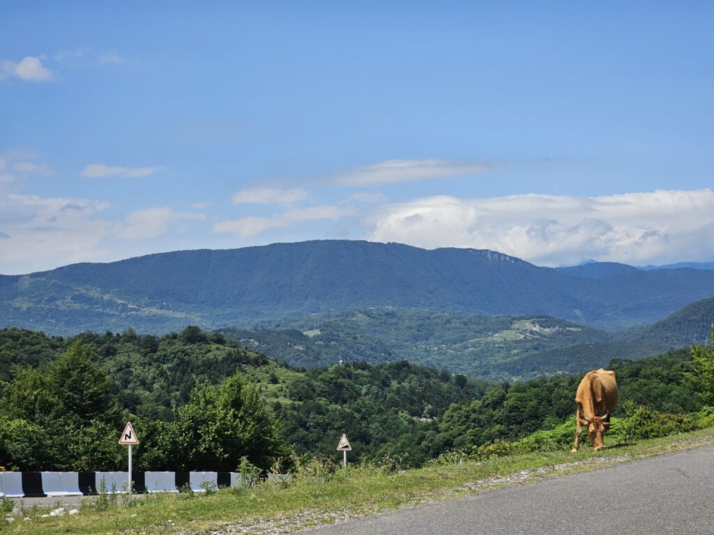
Georgia’s a beautiful country and most people living here or visiting will explore beyond the main cities.
Some points to keep in mind when travelling, especially away from the major cities:
- It’s a mountainous, 3D country. Hills can be steep. Even from the famous Rustavelli Avenue in Tbilisi, you could walk continuously uphill for 1000m vertically (to Kojori).
- Just because something is close on a satellite map, doesn’t mean that it’s a short drive away. Roads have to go around mountains, or snake slowly up them.
- Not all roads are well paved, more are like tracks, and as you get more into mountain villages you will need a proper 4×4 and expect to be driving through rivers.
- Snow, landslides, floods etc are a regular issue. Roads might be closed. Hiking trails might cross rivers that are too fast after rain. Some places like Tusheti can only be visited for a few months of the year. Do a bit more research, and ask locally if routes are passable. Stay safe.
The main maps sites / apps
Google Maps & Google Streetview
Pros
- Overall, pretty accurate and works for navigating by car.
- Lots of reviews for restaurants, bars etc.
- Some coverage of public transport.
- Satellite imagery.
- Streetview imagery – see what streets (or some off road paths) are like at eye level.
- Lots of photos of places, including the insides of restaurants.
- Can download maps to use offline.
Cons
- Lacks detail, especially when walking. Paths and staircases between streets likely won’t be shown. The boundaries between buildings aren’t shown.
- You may get caught out on dirt roads, when expecting tarmac.
- Lacks much sense of the 3D nature of Georgia (no working 3D satellite view, terrain view has contours, but a bit subtle).
- Lacks most hiking trails.
Tips
- We’re working to improve the streetview imagery, and sometimes it will be available even when there is no path marked on the map. If going hiking or mountain biking, try turning on the streetview layer.
Details
Overall, Google Maps is a pretty good default choice for most people, in particular if you’re just going around town or between major tourist destinations. It’s got great information on shops, restaurants, cafes, bars etc. Lots of photos and satellite imagery and people are working to improve StreetView (let us know if you’re interested in helping).
Google Earth

Pros
- Shows a 3D satellite view, that gives a good idea of the mountains
- Shows streetview.
- Satellite imagery gives a good idea about vegetation (forest, desert etc)
Cons
- Buildings aren’t 3D, so cities can seem a bit weird.
- Rarely the best option compared to other tools.
Details
Google Earth is a separate app on phones to google maps, but can be accessed from the browser on web.
It’s main benefit would be exploring mountainous areas and getting an idea of vegetation and the 3D nature of the place.
In practice, I rarely find myself using it.
Apple Maps
Not sure what they’re like!
Feel free to tell me!
Bing Maps
Pros:
- Different satellite imagery to Google Maps
- Integrates reviews from other sites, like Tripadvisor, but overall worse than Google maps.
- Uses OpenStreetMap, so has lots of detail.
Cons:
- No strong reason to use it.
- No phone app (and so no offline maps).
No good reason to use this.
Maps.me and Organic Maps
Pros
- Slick interface.
- Can render maps in different styles.
- Detailed, with all the OpenStreetMap features (individual buildings, hiking trails, shortcuts)
- Routing is fast and shows walking, cycling options, and a nice profile (height / climbing) chart.
Cons:
- No streetview.
- No satellite
- Limited information on restaurants, cafes etc.
Details
Maps.me has been mentioned to me a few times. Whether it is massively better than other openstreetmap options is questionable, but it’s pretty decent.
There’s also Organic Maps which has some of the same origin, but is open source and advert free. It’s similarly snappy, although a compared to something like OsmAnd, both are into slick simplicity over features.
Yandex Maps

Pros
- Detailed maps showing individual buildings, hiking trails etc (almost certainly openstreetmaps data).
- Lots of reviews and photos of restaurants, cafes etc, even if not at Google’s level.
- Includes bicycle routing (although not sure how accurate some time estimates are).
- Some streetview imagery (”mirrors”), with a different source to Google.
- Has some traffic information (Yandex also has a Taxi fleet in some parts of Georgia).
- Fast / slick interface.
Cons
- While the map has English, reviews are mostly in Russian, and doesn’t seem to offer English translation.
- Mostly Russian users (so few Georgian reviews etc).
- Streetview / Mirrors imagery is low quality and you can’t pan around.
- Satellite imagery exists, but is low quality.
- Russian company, and all the political and security complexities of that.
- 3D view didn’t show hills / mountains, just some buildings in 3D.
Details
This is a Russian company (Yandex is like a Google / Facebook of Russia). Yandex also runs an Uber-like Taxi app in Georgia (Bolt being the main one I would recommend).
Overall, in my brief review of Yandex maps, it seems fairly fully featured and slick, but then also a tiny bit lacking. If you were a Russian speaker, looking for more detail on your maps than Google provides while getting
Georgian Government / NAPR
https://maps.gov.ge / https://www.napr.gov.ge/
Pros
- The highest quality satellite imagery.
- Loads of technical information like boundaries, special features (look at the layers).
- Shows information not available elsewhere like the boundaries of properties, and their owners (use it i button)
- Buildings have more detail.
- Has historical maps, and old satellite imagery, not just the latest.
Cons
- Not designed for day-to-day life like finding a restaurant, or working out how to get to a place.
- No streetview (that I have noticed, but NAPR have been collecting it).
- It’s just a site / no app or offline viewing.
Details
The Georgian Government (with Norwegian help) back in 2015 set about improving the country’s maps through the Nation Agency of Public Registry (NAPR). It’s the department that deals with things like land ownership.
They have a lot of great information, and maps that few people know about.
It’s interesting just to explore it, and see all the great information they have about the natural environment and the built up cities.
Ultimately it’s the best choice if you want as much detail as possible, in particular when doing something like purchasing a property.
Not really a map, but just to mention that there is a lot of information on Facebook in Georgia, and Instagram is active too. So it might be that those platforms have the information you want.
Other OpenStreetMap Sites and Apps
The list is potentially too long, but here are some suggestions for viewing OpenStreetMap maps:
- https://www.openstreetmap.org/ – the official OpenStreetMap site, but it shows names in Georgian only (fine if you’re know the alphabet). There’s different layers you can use including ones for things like cycling.
- Maps.me – mentioned above, fairly slick.
- Alltrails – hiking focus.
- https://www.wikiloc.com/ – outdoors focused (hiking, mountain biking etc).
- OsmAnd – full of features, but maybe a bit complicated at times.
- https://en.mapy.cz/turisticka – website showing openstreetmaps, with a nice design and names in both English and Georgian.
Maps by use case
The best maps for finding a restaurant in Georgia
Google Maps tends to be the best for finding restaurants, shops etc. It doesn’t have absolutely everything on there, but it’s the best one around.
Areas with a good number of tourists will have good coverage. As you go to less popular destinations, there’s probably more shops than the map shows, and you might want to check StreetView (if available).
The best maps for buying or renting a property in Georgia
Sites like ss.ge/ and www.myhome.ge show locations often just as street addresses, and sometime also they will be shown on a map. Underneath, they are using OpenStreetMap. This means that when looking up locations on Google, sometimes it will fail and you will be better using one of the other maps that uses OpenStreetMap data.
The in-depth information in the NAPR https://maps.gov.ge/ site including boundaries, legal owners and high resolutions satellite imagery will be useful for checking up on a property.
Google Streetview can be useful for getting a ground-level view of the area before visiting.
The best maps for satellite images in Georgia
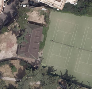
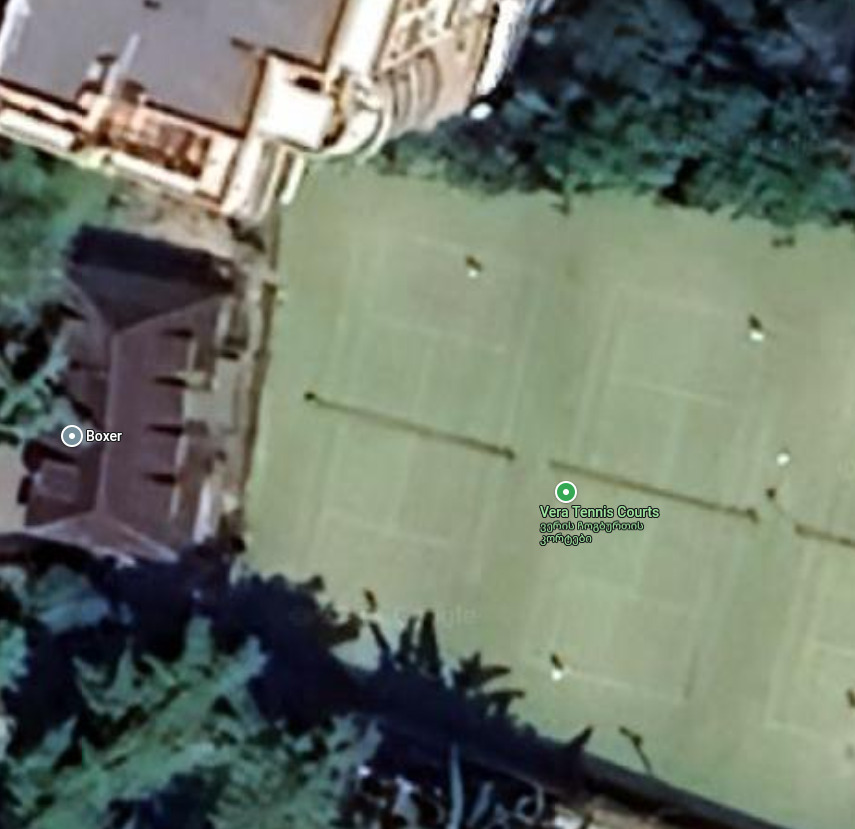
Google Maps is my default option here because it integrates seamlessly with the rest of the mapping experience. Google Earth is another option if you want to explore more the nature.
The highest quality satellite images are found on the government (NAPR) site https://maps.gov.ge. It includes historical as well as recent satellite imagery, and overall the site has a vast amount of information.
The best for streetview images in Georgia
Here Google maps is currently the on real option.
If really desperate for other sources, then you can look at Yandex Maps, or Mapillary.
The best for tourism and finding places to go in Georgia
Google maps is the best option for finding out the basics on places, and often shows you some photos, reviews, places to stay etc. But it’s not a great way to explore places to go.
Georgia has some excellent blogs. My personal favourite is Wander Lush, which is very in depth on Georgia.
There’s also https://georgia.travel run by the Georgian National Tourism Administration.
Within each region, there is often a local tourism office and sometimes they’re active on Facebook, and not necessarily called what you expect. For instance, in Bakuriani, MTA Bakuriani https://www.facebook.com/MTA.Bakuriani/ is active on Facebook and you could message or call them for more information.
The best maps for driving in Georgia
Google Maps is a good choice for driving in Georgia. It has an accurate view of the roads, routes well for cars and shows traffic jams / incidents.
Waze may also be a good option (not tried), and Yandex has some information like traffic.
Overall, compared to other countries, take extra precautions when driving, especially in winter and into the mountains where roads may be hard to pass and you may need a 4×4 and snow chains.
The best maps for public transport in Georgia
Google maps works fairly well for public transport in Tbilisi at least. It will do a good job of suggesting a route, but doesn’t seem to have real time information about buses in there, which you can get from the TTC app.
It will fail when going further away, and I haven’t found the ultimate solution that covers the full spectrum of city buses, long distance coaches, trains (which I check on tkt.ge), metro, marshrutka and taxis. Lots of searching online and asking locally seems to be the only solution.
The best maps for hiking in Georgia
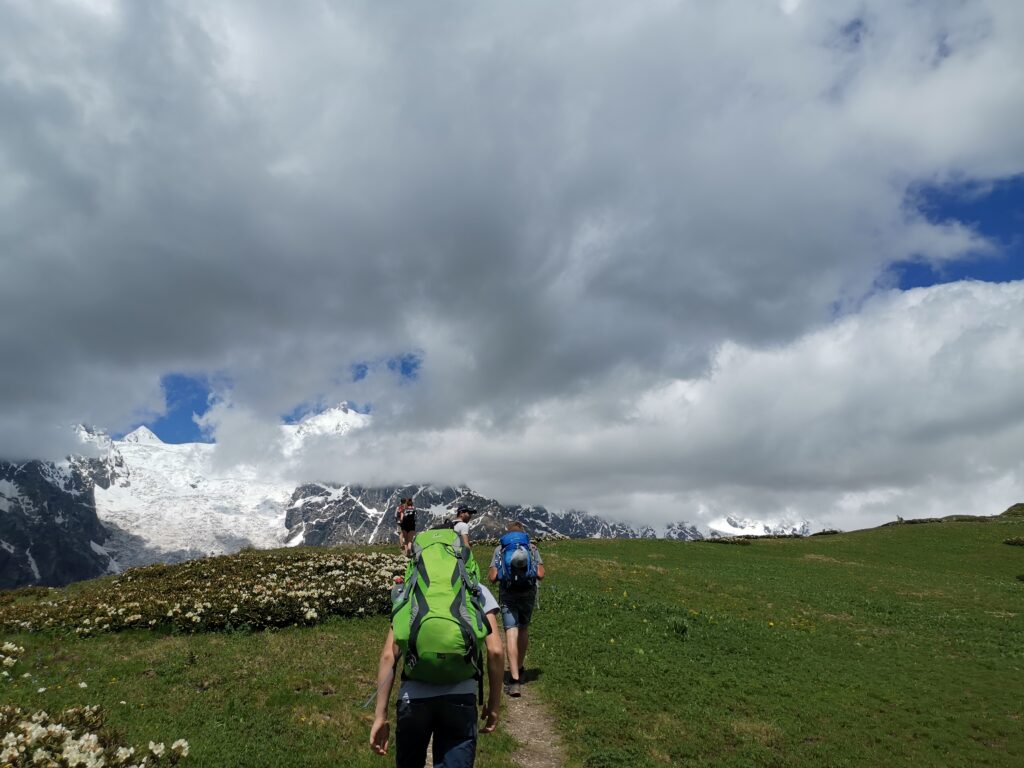
Here you definitely don’t want to use just Google Maps, and do want to use an OpenStreetMap based app, which will have the trails, contours (elevation changes) etc on them.
Make sure you download not just the app, but also the maps within the app for offline use (some will prompt you, or do by default, others you may have to seek it out). It’s easy to lose mobile reception in the mountains, and in some more remote locations you may struggle to get internet in the village you start at (Georgia in general has surprisingly good mobile internet though).
When looking to find places to go, Caucasus Trekking is the a great site, although it is more focused on the adventurous than casual walks out of Tbilisi. There is an overview map of trails covered. Some of the apps like Alltrails might be good for other recommendations, or just browse maps looking for trails.
The Georgian Government has mapped a lot of hiking trails, and you may be surprised by the quality of signs in remote areas, and sometimes paper maps are available locally.
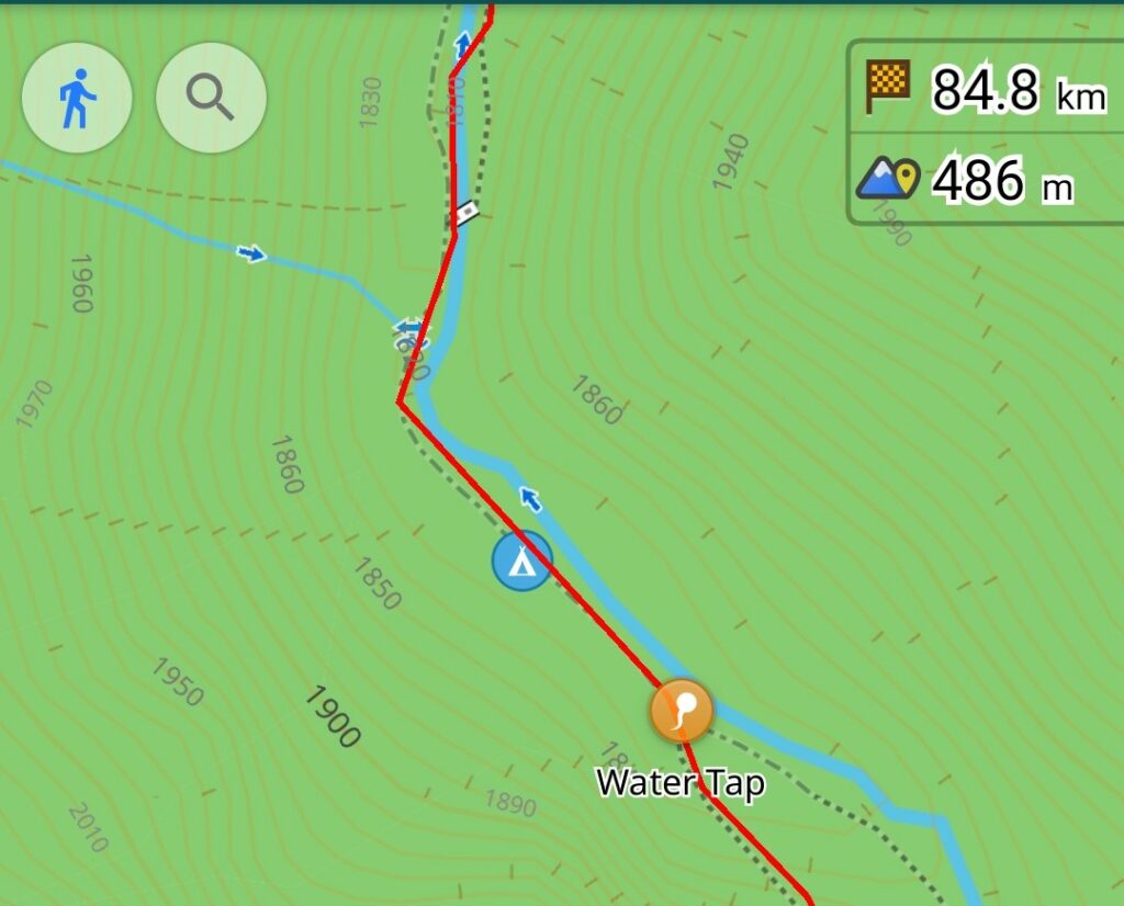
My personal preference for an app is OsmAnd. It’s a tiny bit complicated as it gives you loads of options about how you want to see the map, but gives you loads of information and is well set up for hiking. So far it hasn’t failed me in Georgia. For each country / region, it may have multiple downloads for the map, the contours etc, so just check you have everything before heading off. You can also load up GPX files (routes) that you find online.
Maps.me is another good option as it uses OpenStreetMap.
AllTrails seems to be only good for hiking in Georgia, but does seem active. It’s a (mostly) paid app, and combines OpenStreetMap with user contributed trail information including some photos and a user interface designed for hiking. My brief review of trails around Tbilisi however showed that it missed out lots of potential hiking routes.
Wikiloc has a number of trails, although I didn’t get the impression is as active as AllTrails.
Garmin Forerunner watches, or those that show maps, also use OpenStreetMap, so have most trails on them.
The best maps for road cycling in Georgia
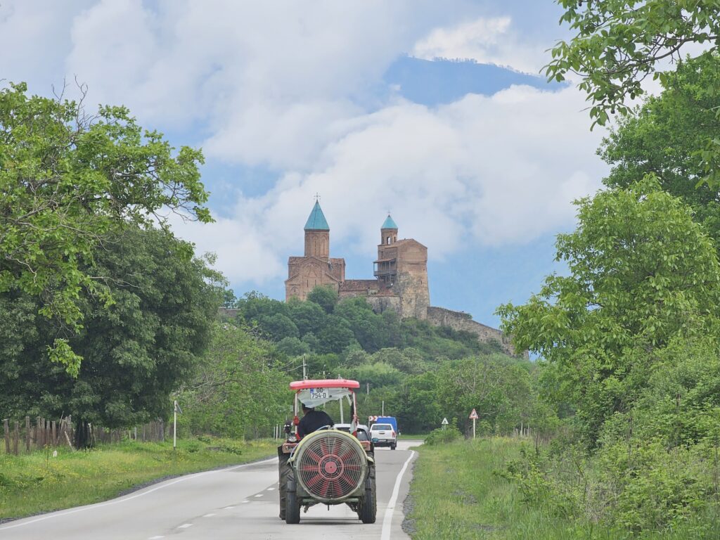
Once you get out of the center of Tbilisi, Georgia can be a great place to go cycling.
Currently the road cycling scene is pretty limited, and you’ll see this when you try to find routes, or hire / buy bikes. The mountain biking scene is a lot more popular.
You will also find that there are quite a lot of adventurous people coming through Georgia on very long bikepacking trips, often exploring deep into the mountains.
In some respects cyclocross / gravel bikes are optimal compared to regular road bikes in Georgia as you will find that sometimes roads become dirt tracks unexpectedly. A number of people cycling around for long distances on the road won’t be on true road bikes.
Strava has some community, and this is probably a good way to find routes that people are doing. I have found it routing me over unpaved roads in the past, so it’s best to try to check routes it automatically generates.
Garmin Connect I found essentially doesn’t work here.
Garmin Edge cycle computers do have maps that have the roads, but the caveat that they might not be paved still applies.
Google maps doesn’t have cycle routing working.
There aren’t many cycle routes in Georgia, but these are on OpenStreetMap.
So, overall, your cycle GPS probably has a good-enough map (as it will be based on OpenStreetMap), but you’ll ideally want to find a route beforehand that other road cyclists have done, or be prepared to do some dirt track.
As we are improving the Google Streetview, you can check more of the imagery to see road condition and get more adventurous.
The best maps for mountain biking in Georgia

Overall, the mountain biking community is fairly active in Georgia, much more so than for road cycling.
Trailforks has a number of routes mapped and seems fairly active https://www.trailforks.com/region/georgia-68/.
Wikiloc has some trails on it.
OpenStreetMap has good coverage of trails, and includes off road cycling tracks.
You might also want to ask in groups on platforms like Facebook or Reddit for more recommendations.
The best maps for complex searches
This is a bit of a pro area, but there are tools to search for things in the mapping data that often aren’t surfaced in normal maps apps.
For instance, you might want to search for a park with a public toilet and a water fountain in it, or a water spring along your hiking route. There’s no real way of doing that within tools like google maps, but you can use more sophisticated tools.
OpenStreetMap has a lot of detail to it, and any view of a map has to simplify everything to be
In particular there is Overpass Turbo, which has its own query language (a code to tell the computer what to search for). The good news is that ChatGPT is quite good at turning your query into code for Overpass Turbo.
Bellingcat also have a simplified interface to Overpass Turbo, but it’s more focused on identifying where photos were taken.
If all this is too complicated, but you want more information as you browse, then on the OpenStreetMap site you can change layers to get slightly different information. If you use the OsmAnd mobile app, then it has loads of configuration options to show different POI (e.g. sports centers, or hospitals or toilets) and different layers like contour lines and hill shades.
The best for updates about road closures in Georgia
During the winter in particular, road closures are not infrequent, even on fairly major routes.
Being a mountainous country with lots of snow and rain, you can get snow drifts, land slides, floods etc.
Sadly, I don’t have a great solution for understanding which routes are open.
Driving heavy apps like Google maps (or likely waze) will probably show you some information on roads that are blocked, buy maybe not if they’re not popular routes, and likely not useful information like whether it will take a few hours or a few weeks to clear.
If you’re lucky, you can pick up the major changes on social media (facebook in particular is big),
Have I missed something?
Please do let me know if you’ve got some other suggestions.
Leave a Reply